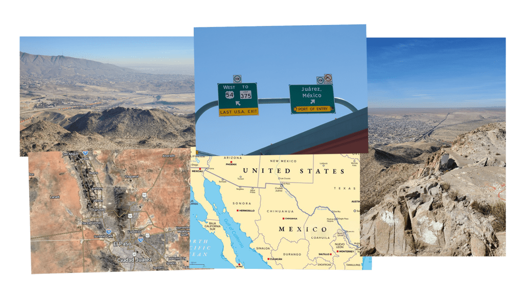
Central El Paso’s neighborhoods, located directly on the U.S.-Mexico border, adjacent to international bridges, the border wall, and the Rio Grande, are vibrant hubs of culture, hospitality, and knowledge, despite historic marginalization and socio-economic vulnerability. In recent years, gentrification has impacted these neighborhoods and their residents profoundly with many leaving for other more affordable areas of the city and county, while others struggle to remain in order to maintain the strong social and family ties and sense of identity built within these communities.

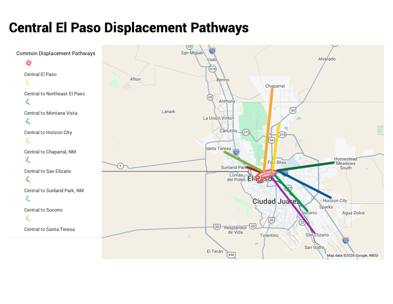
This project combines oral history interviews, photography, community sourced maps, and poetry to explore systemic dynamics, environmental impacts, and personal experiences in the changing landscapes of Central El Paso’s gentrified and gentrifying neighborhoods.


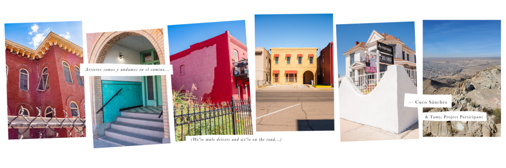
The five stages of gentrification as photographed in Central El Paso neighborhoods in Fall 2025 and Spring 2026. The displacement stage is represented by a photo taken in Sunland Park, New Mexico in 2025.
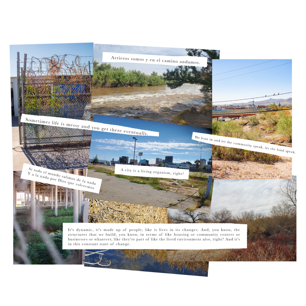
The changing landscapes of Central El Paso viewed from a geological timescale and the perspective of the city as a living organism within a larger, dynamic ecosystem. Photos taken in Central El Paso, Fall 2025; Rio Bosque Wetlands Park, Spring 2025. The photo of the Rio Gr ande was taken in Leasburg Dam State Park, Spring 2025.

